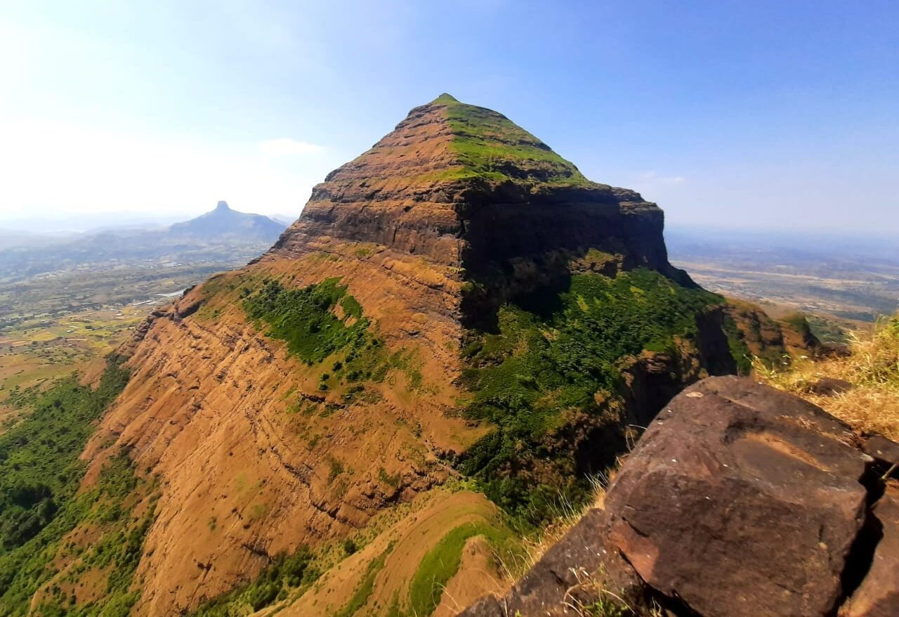
The Salher fort trek takes you to the highest fort in the Sahyadri range, in the Baglan region of Nashik district. At about 1,567 m, Salher is the second highest peak in Maharashtra after Kalsubai (about 1,646 m), and it is a very different kind of trek from the popular weekend forts near Mumbai and Pune: remote, quiet, steep in parts and full of history. This guide covers the route from Waghambe, the height, the history, how to reach and what to carry.
Salher Fort at a Glance
- Height: about 1,567 m (5,141 ft), the second highest peak in Maharashtra
- Location: near Salher village, Satana tehsil, Nashik district
- Older name: Gavalgarh
- Twin fort: Salota, right next to Salher, about 4,986 ft
- Base village: Waghambe
- Climb: about 5 km from Waghambe, roughly 3.5 hours up by one trekking guide's estimate (some local guides say less)
- Difficulty: moderate, with a steep rock-cut staircase near the top
- Best time: October to February, after the monsoon
Why Salher Is Special
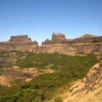
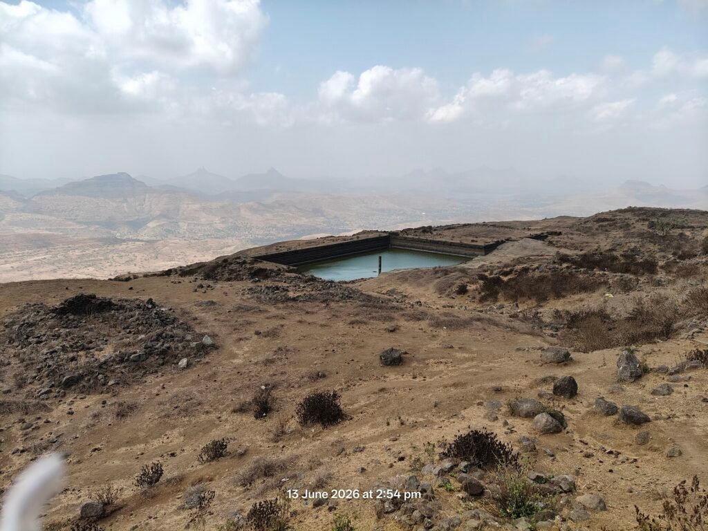
Salher stands on the Maharashtra-Gujarat border country, far from the crowded trails. It is part of the Maratha Military Landscapes of India, which UNESCO inscribed as a World Heritage Site in 2025. The top is a wide plateau with the ruins of old structures and water tanks, and on a clear day you look across the Baglan plains and a long line of neighbouring Sahyadri peaks. Local legend says Parashurama meditated on this hill. Read more about how it compares with the state's tallest peak in our Kalsubai trek guide.
History of Salher Fort
Salher was an important fort of the Baglan region. In 1672 the Mughals attacked it, and the Marathas under Suryajirao Kakade, sent by Chhatrapati Shivaji Maharaj, won the Battle of Salher. After that victory the Marathas also took Mulher and held the Baglan region. In the 18th century the fort passed to the Peshwas and later to the British. If you enjoy fort history, see our guides to Raigad and Lohagad.
Route: Waghambe to the Summit
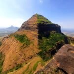
The usual route starts at Waghambe village. The trail first climbs through fields and open slopes to the col between Salher and Salota, then turns towards Salher. Trek guides mention four gateways on this route. Near the top there is a long rock-cut staircase that climbs almost vertically for close to 100 m, so go slowly and keep your hands free. On the plateau you can walk across to see the tanks and ruins.
- Waghambe to the col: the first and easier half, mostly a steady walk
- Col to the gateways: steeper, with loose stones in places
- Rock-cut steps: the most exciting stretch, needs focus and good shoes
- Summit plateau: wide and open, little shade
How to Reach Salher from Mumbai and Pune
Salher is remote, so plan the travel first. Trek guides put it roughly 280 km from Mumbai and about 110 km from Nashik by road to the region, and Waghambe is a little further, reached through Satana and Taharabad. The practical way is to go to Nashik and continue by road, or to travel the night before and stay near the base. From Pune you also route via Nashik. Because of the distance, most people do Salher as a 2 day trip. A group trek with a pre-arranged vehicle saves a lot of effort.
Best Time for the Salher Trek
October to February is best. The skies are clear, the trail is dry and the views are wide. Avoid the peak monsoon: the staircase and rocky sections become slippery. Summer is hot and the plateau has almost no shade. For other cool-season options see our list of best winter treks in Maharashtra.
What to Carry
- Trekking shoes with good grip (no sandals on the rock-cut steps)
- 2 to 3 litres of water, because there is little water on the way
- Cap, sunscreen and sunglasses for the open plateau
- Light snacks, glucose, dry fruits
- Small first aid kit and any personal medicines
- A light jacket for early morning and evening
- Head torch if you start before sunrise
Safety Tips
- Trek with an experienced local guide or a trusted group, as the trail is less marked than popular forts
- Do not rush the rock-cut staircase and give people space on it
- Start early so you are down well before dark
- Do not litter and carry your waste back
New to trekking? Start with our first trek guide, and read about women-only treks in Maharashtra if you prefer a women-friendly group.
Trek with Touriko Trek & Travel
Salher is a trek for experienced beginners. If you are building up to it, our next trek is the Harishchandragad Trek (24-25 Oct 2026), a 2 day 1 night trek and camping trip. Touriko treks are safe for women and perfect for first-time trekkers, with experienced guides with the group at every step, and pickups from Mumbai and Pune. The Harishchandragad trek costs ₹2,999 with travel from Mumbai or Pune, 2 meals, 2 snacks, tent stay and an experienced trek guide (₹2,099 without travel). See all upcoming plans or WhatsApp us at +91 89768 74681.
Salher Fort Trek FAQs
How high is Salher fort?
About 1,567 m (5,141 ft). It is the second highest peak in Maharashtra after Kalsubai and is described as the highest fort in the Sahyadri.
Where is Salher fort located?
Near Salher village in Satana tehsil, Nashik district, Maharashtra. The usual base village for the trek is Waghambe.
How long does the Salher trek take?
Plan about 3 to 4 hours to climb from Waghambe at an easy pace, plus the return, so allow a full day.
Is the Salher trek difficult?
It is moderate. The walk is long and the rock-cut staircase near the top is steep, but trekkers with basic fitness can do it with a guide.
What is the best time for the Salher trek?
October to February, when the weather is clear and the trail is dry.
Can I visit Salota on the same trip?
Salota is the twin fort next to Salher and is often combined with it, but it adds time and effort, so ask your guide to plan it.
Is Salher fort part of a UNESCO site?
Yes, it is part of the Maratha Military Landscapes of India, inscribed as a UNESCO World Heritage Site in 2025.